On august 26, the Independent published two stories about how the new highway’s construction might affect future floods in the Lower Clarence.
How the new highway affects flood levels, ‘generally’ speaking looked at what the post-highway flood modelling predicts.
Resident pre-empts possible flood disaster reported on the contents of a Transport NSW response to Chatsworth Island resident Shane Williams, who engaged a solicitor to write to the government about his concerns.
On Friday August 21, the Independent lodged an enquiry with the Transport NSW media unit via email, which is a prerequisite for media enquiries.
A response was received late on Monday afternoon August 31.
Both the Independent’s enquiry and Transport NSW media team’s response are reproduced in full, in the interest of transparency.
ENQUIRY
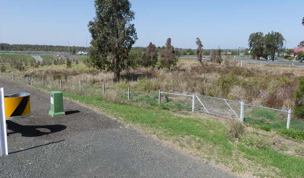
There are two areas that seem to be obvious points that would affect floodwater behaviour (pics attached): Ferry Park and Chatsworth/Harwood islands.
When flooding of Maclean occurs, Ferry Park is the first place the river breaks its banks and spreads onto that part of the floodplain – this is now not possible due to the new highway’s higher elevation.
On Chatsworth Island, where the highway is now on two different levels, there are viaducts on the western highway, but only small pipes under the eastern highway, which will prevent or significantly slow floodwaters taking the usual path, flowing west to east towards the Clarence River.
Given that Transport NSW has stated in a letter (dot points below) to a concerned resident that there will be changes in flood behaviour (UP TO 50MM IN HEIGHT) and that home insurance costs have increased up to $30k per annum following the last flood disaster, what responsibility does/will the NSW Government take if floods cause damage not commensurate with the historic 5, 20, 50 and 100 year ARI events?
A minor increase in flood level to the west of the highway;
- A minor decrease in flood level to the east;
- A minor increase in flood duration to the west and also to the east in some areas; and,
- No perceptible change in flood velocity or direction.
It is apparent that the two examples I refer to at Ferry Park and Chatsworth/Harwood islands do not meet the general criterion that there should be “no change to the direction of watercourses or the direction of flood flows except for constriction in and expansion out of discrete openings (culverts and bridges) and construction diversions”.
Please explain how the two examples above have been mitigated, particularly in relation to how these anomalies will affect flood heights as a result of not being able to access the floodplain at Ferry Park to Shark Creek area and preventing the natural west to east flow across Chatsworth and Harwood islands?
Also, the mitigation report online states that “Further analysis is being carried out and mitigation measures are under investigation for the impacts predicted for the 50-year ARI event” regarding the Maclean township.
Please explain what this means (completed or not?) and what the findings were?
RESPONSE IN FULL FROM TRANSPORT NSW MEDIA TEAM
PLEASE QUOTE A TRANSPORT FOR NSW SPOKESPERSON:
Transport for NSW is committed to assessing potential flooding impacts related to the building and operation of the Woolgoolga to Ballina upgrade and to addressing community and industry concerns about flooding.
When planning new infrastructure, Transport for NSW seeks to minimise the flooding impacts where possible while delivering a balance of engineering, safety, environment and community outcomes.
The Woolgoolga to Ballina upgrade meets its flood management objectives in the regional floodplain with less than 50 millimetre change in peak flood levels, negligible change in flood velocity, flood hazard and flow direction, and minor localised changes in flood duration that have been consulted on with the affected landowners.
The Glenugie to Devils Pulpit Hydrological Mitigation Report documents the flooding impacts of the project in detail, with maps showing the status of compliance with the flood management objectives throughout the Clarence River regional floodplain.
The upgrade will reduce the number of times the Pacific Highway is closed to flooding and provides improvements to connectivity and flood immunity.
INFORMATION NOT FOR QUOTING:
Potential impacts – Maclean township
In 2017, the project team consulted with the community and stakeholders about a proposal to raise a low point on the Maclean levee, owned and managed by Clarence Valley Council.
The following work was carried out in 2018: raised the levee’s flood immunity from less than 20 year average; reoccurrence Interval (ARI) to just above the 20 year ARI; and, removed any impact of the upgrade and deliver a benefit (reduction in flooded area) to Maclean up to a 40 year ARI event.
Potential impacts – Ferry Park and Shark Creek
Ferry Park is the first point where the Clarence River overtops its banks in this area and the upgrade has not changed this.
In 2016, as part of detailed design, the length of the bridges was increased at a number of locations across the floodplain at Shark Creek to Ferry Park.
Additional culverts have also been incorporated into the design of embankments to ensure the effect on floodwater across the area is minimised.
Potential impacts – Chatsworth / Harwood islands
In 2016, as part of detailed design, additional design refinements were identified to reduce flooding impacts. This included replacing culverts with 15 new bridges through the floodplain between Harwood and Mororo.
The benefits of this include: providing additional and larger flood openings in the road to optimise flow; allowing strategic placement of openings to suit localised flood water flows; providing structures which are less susceptible to weather damage; enabling a reduced recovery period after weather events; and improving access and reducing maintenance.