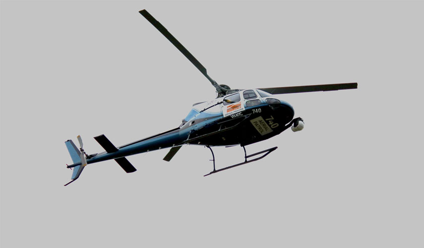
Essential Energy will take to the skies above Grafton and Maclean this week, using specialist high-definition equipment attached to a helicopter to undertake a further assessment on the condition of the electricity network in the aftermath of the devasting fires of late 2019 and early 2020.
Higher quality capture using an autonomous image capture sensor means more images can be taken along a more direct and higher flightpath than in previous years. Previously the helicopter had to fly low and frequently over some powerlines to get the same quality.
Operational Manager Coastal, Chris Maccoll, said “The newer technology will not only mean a faster delivery of the images but also lessen the impact on people and livestock in the flight path.”
“These flights are a crucial part of our broader program to understand the condition of the network so we can identify and repair damaged or deteriorating network assets according to the risk they present.”
The helicopter will be used to fly the powerlines in locations throughout the local government areas of the Clarence Valley.
“Our overall Bushfire Risk Management Plan involves this helicopter-led data capture, other aerial inspections, drone and ground-based asset inspection which is combined with our network analysis to understand and manage risk to ensure the safety and reliability of the network,” Chris said.
Customers can learn more about aerial inspections, including how to arrange for notification prior to the flights commencing by visiting www.essentialenergy.com.au/aerial .
If the inspections identify an issue with the Essential Energy network, the network will be repaired according to the risk to network reliability and community safety. Follow Essential Energy on Facebook and Twitter for updates on aerial patrols or visit: essentialenergy.com.au/aerial for further information.
Weather permitting, the patrols will take place commencing this week.